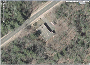
Naughty words in Google Maps here.
Which is funny, especially since is is my understanding that the satellite images are 6+ years old…
(click image to enlarge)

Follow-up:
…so I did a little more digging, and it turns out that the Google Maps are indeed old.
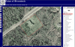
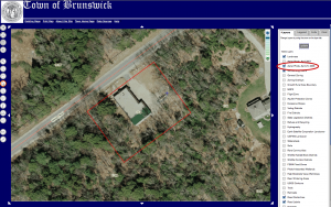
The Town of Brunswick has a GIS site (for tax maps, I believe).
It shows the property (23 Hillside Rd.) to have the graffiti on the roof in their Aerial Photo from April 2001.
(click image to enlarge)

The graffiti on the roof is gone in the Aerial Photo of April 21, 2006 (or has been digitally removed).


Kinda like this story:
http://www.guardian.co.uk/uk/blog/2009/mar/24/penis-drawing-roof-google